Satlas
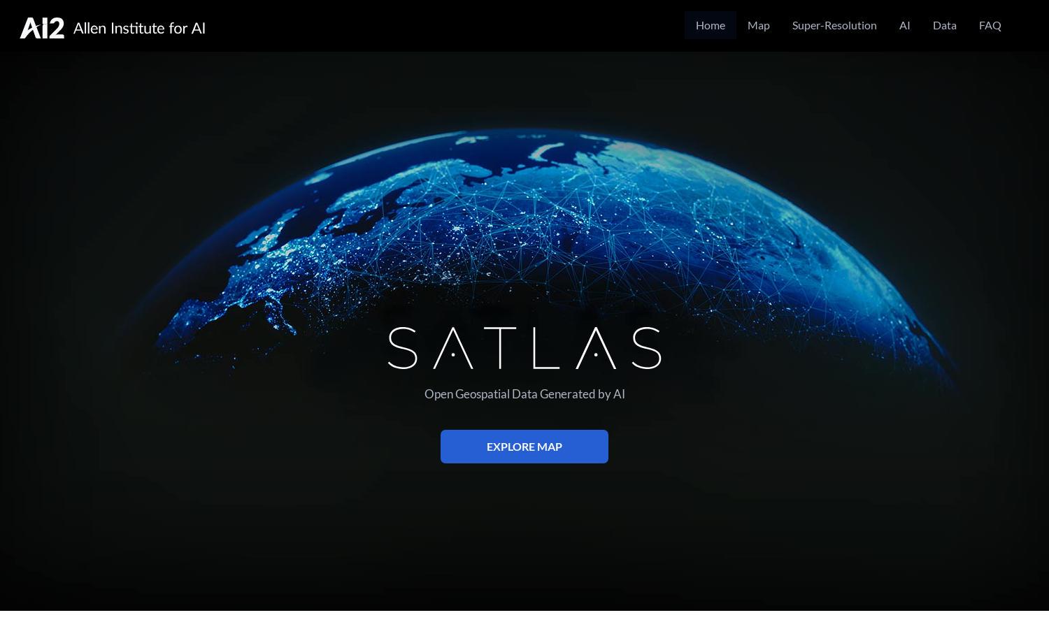
About Satlas
Satlas is an advanced platform designed for researchers, environmentalists, and interested users to explore Earth’s evolving landscapes. With its cutting-edge AI technology, Satlas facilitates access to annotated satellite imagery, providing insights into environmental changes, infrastructure development, and conservation efforts, thus solving the challenge of data accessibility.
Satlas offers free and publicly available geospatial datasets, enhancing research capabilities and offline analysis. Users can access extensive datasets without any subscription barriers, making it an invaluable resource for academic and professional opportunities alike while promoting responsible exploration of our planet's changes.
The user interface of Satlas is designed for seamless navigation, featuring an intuitive layout that promotes easy access to satellite imagery and data exploration tools. Users can efficiently analyze changes across diverse landscapes, ensuring an engaging experience that supports their understanding of global transformations.
How Satlas works
Users start by signing up on Satlas, gaining access to AI-annotated satellite imagery. The platform allows users to navigate through various features, including geospatial data exploration and super-resolution imagery enhancement. Simple search options enable users to find specific areas of interest, making the process insightful and efficient while leveraging AI’s capabilities.
Key Features for Satlas
AI-annotated Satellite Imagery
Satlas offers unique AI-annotated satellite imagery that provides users with detailed insights into Earth's dynamic environments. This feature showcases changes in various sectors, empowering users to understand and track significant transformations using advanced data visualization techniques and AI-backed analysis through Satlas.
Geospatial Data Accessibility
Satlas emphasizes the availability of geospatial data, allowing users to download and analyze large datasets offline. This feature supports comprehensive research and insights into environmental changes, making Satlas a crucial tool for scientists, researchers, and curious individuals dedicated to understanding our planet's evolving landscape.
Super-Resolution Imagery
With its super-resolution technology, Satlas enhances low-resolution satellite images to deliver high-quality visuals. This distinctive feature enables users to observe minute environmental changes, fostering a deeper understanding of the planet's transformations and supporting research efforts across various fields of study.
You may also like: